Let’s talk about snow!

Let’s talk about snow!

Let’s talk about snow! Things are looking weird on the extended.

One thing for sure — it’s going to get extremely cold east of the cascades, and most of BC is back in the ice box this weekend.

The previously mentioned dry spell will continue this week, and I’m hunting vitamin D even if the temps aren’t making it out of the 40s.

The long term models are trending colder with the previously mentioned arctic lobe looking more like an arctic front, which means we have another shot at sea level snow late this weekend into next week.

Still a ways out but hey — plenty of time to re-evaluate as we go through the week. I’m liking how the models are trending colder and throwing an arctic front across western washington

Exciting! ❄️ 🥶 let’s see how it shakes out

#wawx #whidbeywx #southwhidbeywx #southwhidbeyweather #wasnow

Certainly not something we see often, but we’re 9 days into meteorological winter seeing a 7-day GFS precip forecast with no rain?

Certainly not something we see often, but we’re 9 days into meteorological winter seeing a 7-day GFS precip forecast with no rain?

Certainly not something we see often, but we’re 9 days into meteorological winter seeing a 7-day GFS precip forecast with no rain? In western Washington? In December??

Image description

Checked out the long term models and we *might* have something to watch towards next weekend as the Euro is trying to throw a polar lobe at us way out in 10ish days (can change). Other than that… it’s about to dry out for the next 7 days. Remarkable really..

#wawx #whidbeywx #southwhidbeywx #gfs

Fun little system will pass over us tomorrow (Thursday) - no snow associated with this until the very end where we might see a few flakes flying but nothing significant or problematic.

Fun little system will pass over us tomorrow (Thursday) - no snow associated with this until the very end where we might see a few flakes flying but nothing significant or problematic. Thursday is soggy and warmer (comparatively) and I’m going to access the long range forecast soon and will update with another post —

Beneficial moisture - never a bad thing 😇

#wawx #whidbeywx #whidbeyislandwx #whidbeyisland #southwhidbey #clintonwa #langleywa #freelandwa #greenbankwa

Radar on a Friday night getting my hopes up for that sea-level snow again 💜 — although out on the deck here at 2030 and it’s calm winds punctuated by giant raindrops… maybe we’ll see some snow fly tonight -- radar is showing the OP and hood canal getting the fresh, with tonight’s system favoring Mt Olympus over Glacier Peak or Baker, and mainly staying offshore.

Radar on a Friday night getting my hopes up for that sea-level snow again 💜 — although out on the deck here at 2030 and it’s calm winds punctuated by giant raindrops… maybe we’ll see some snow fly tonight – radar is showing the OP and hood canal getting the fresh, with tonight’s system favoring Mt Olympus over Glacier Peak or Baker, and mainly staying offshore.

Weekend is looking calm and dry… as is most of next week.

Thursday the models are throwing all sorts of systems at us — but it’s way too far out to get any consistency on the details, stay tuned.

If you’re heading into the backcountry this season (or not!)- follow @nwacus they maintain a solid weather and snowpack summary during the snow season, I really enjoy their forecasts 🤓

#wawx #pugetsound #cascades

Couple inches last night before we switched to rain.

Couple inches last night before we switched to rain. A few bands of snow are moving north from south sound tonight (Thursday @ 2300) Can’t rule out a couple inches by tomorrow if we get under a band. Otherwise we get another system Friday / Saturday keeping things interesting — if you’re driving tomorrow morning take it slow, and watch for ice 🧊

Radar at 6pm Monday is showing a switch to snow.

Radar at 6pm Monday is showing a switch to snow. It’s not officially “sticking” yet over here near bayview.

The snow “bridge” — visible on the radar above — is what I was mentioning in my previous post. A lobe stretching from Olympics to the Cascades right over us 🤩 ❄️ will it switch to rain or will we wake up in a snow globe? Let me know your prediction in the comments!

The 5-day total snow accumulation from 1) GFS 2) ECMWF 3) ICON

The 5-day total snow accumulation from 1) GFS 2) ECMWF 3) ICON

The 5-day total snow accumulation from 1) GFS 2) ECMWF 3) ICON

Image description

Which one will call it correct? Will they all be wrong? Here’s what I’m seeing…

Image description

the NAM 3km (not pictured) puts a beautiful little snow bridge (possible convergence zone) between the Olympics and the Cascades that creates a special snow globe directly over south whidbey 😊 ❄️ ❄️

We will likely make the snow lovers of Seattle jealous, and if you’re a snow ex-lover or just never were attracted to snow in the first place, you should mentally prepare yourself for up to a foot of freshies and a bad attitude 😆/kidding

Winter wonderland starts tomorrow afternoon ppl, and hopefully we avoid the snow-turned-to-rain that some models are throwing at us Wednesday. (This is probably to be expected — and helpful if you’re operating a 2WD car or bicycle)

Snow lovers — this is our time to shine (Tuesday into Wednesday) 💜 💜

#wawx #whidbeywx #southwhidbeyweather #wasnow #southwhidbey #pleaseDontCancelSchool #4wd #awd

The best upcoming chances we have for snow:

The best upcoming chances we have for snow:

The best upcoming chances we have for snow:

Look for a dusting tonight, we miiiiight squeeze enough out of the atmosphere for a tiny bit of winter wonderland monday AM. Then things get weird…

The next shot at snow is when the previous posted “burp” of arctic air flows over the pacific off British Columbia. This situation will develop Tuesday, creating a storm and warm front when this polar air interacts with the warmth of the pacific. Because this isn’t a storm yet, it creates difficulty predicting precip and snow amounts. So I can’t exactly say (today) when and how much it will snow — or even IF we get snow — just know that we might 😜

How’s that for a forecast? Once we get closer to tuesday I’ll have a better read —

Bottom line, be prepared for snow and cold temps all this week. Winter is coming.

Did you catch tonight’s sunset?

Did you catch tonight’s sunset? ❤️ 🤩

🥶🥶 COLD!

🥶🥶 COLD! 🥶🥶 Holy Icicles Batman it’s looking like it’s going to get real next week and beyond! Have you seen the latest ECMWF? I maybe a few IPAs deep but it’s not stopping me from geeking on these weather models and this is looking WILD!

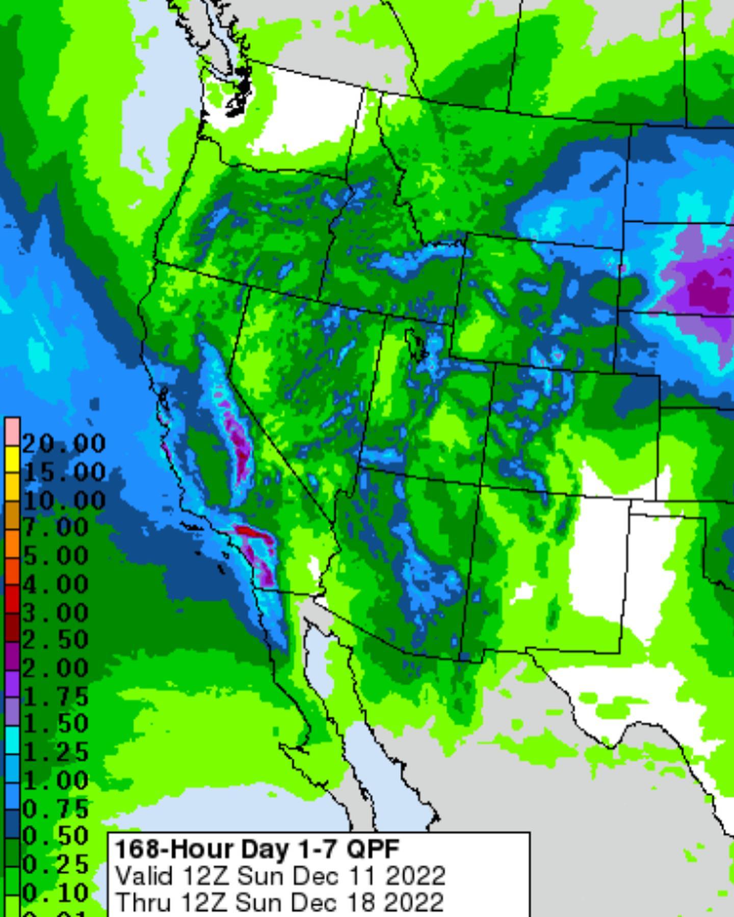
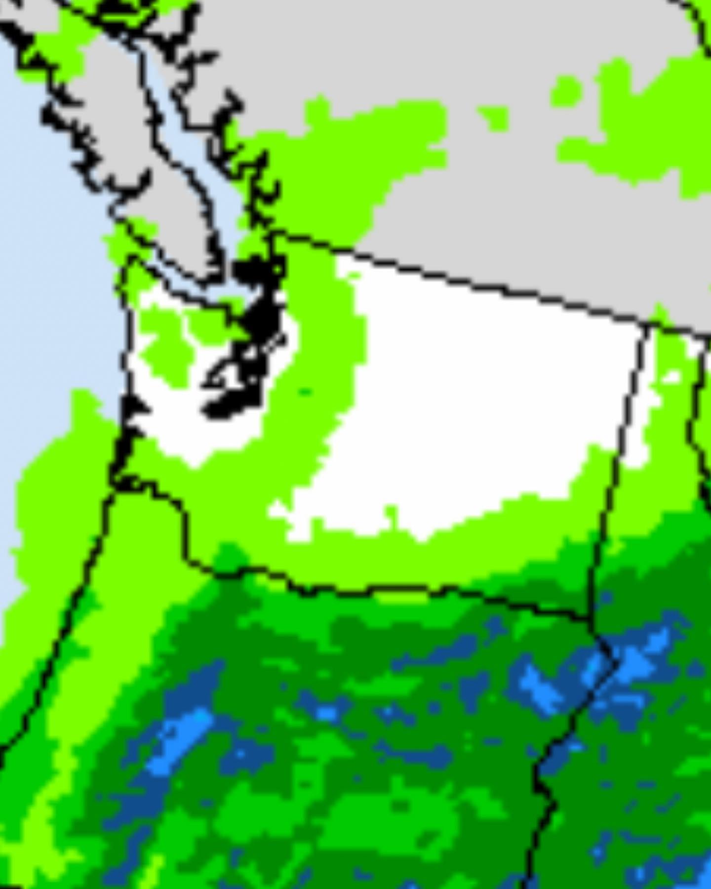
Monday morning I’m seeing a decent burp of Siberian / Arctic air invading British Columbia with the Okanogan river valley doing its thing pulling cold air across the border into Spokane, east of the cascades and down into Oregon. We will feel it here too, but it’s tame compared to what’s to come…

later next week, another even colder burst of arctic air dives over BC and expands WEST out off of Alaska later next week — all of BC is looking to smash record lows all over the place from this polar lobe, and puget sound may be getting in on the records too — this second push will hit all PNW, no one will be spared as we are looking to enter the icebox 🧊 over the next week+

🏂 🏔️ ⛷️ ❄️

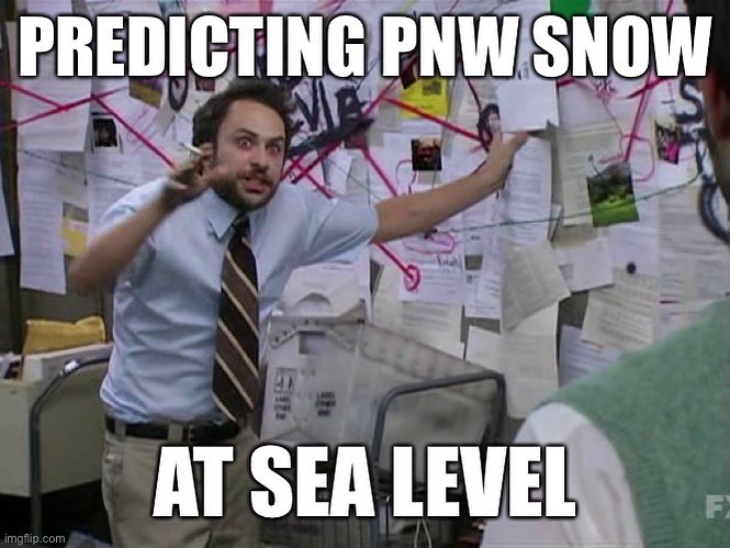
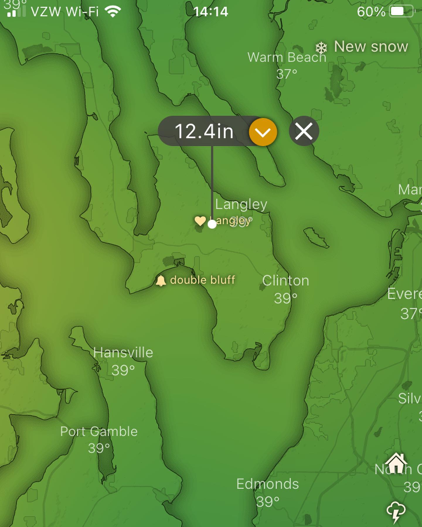
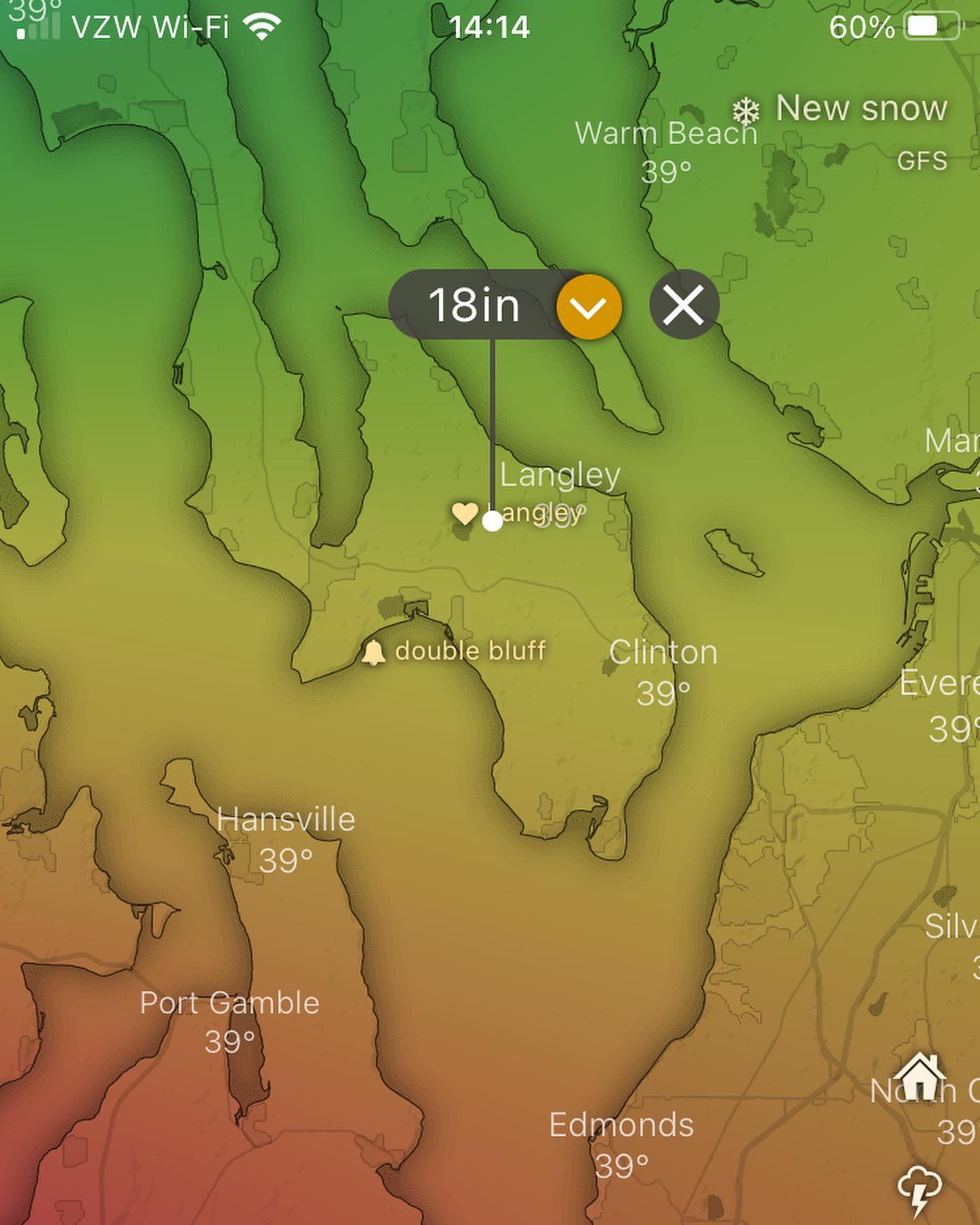
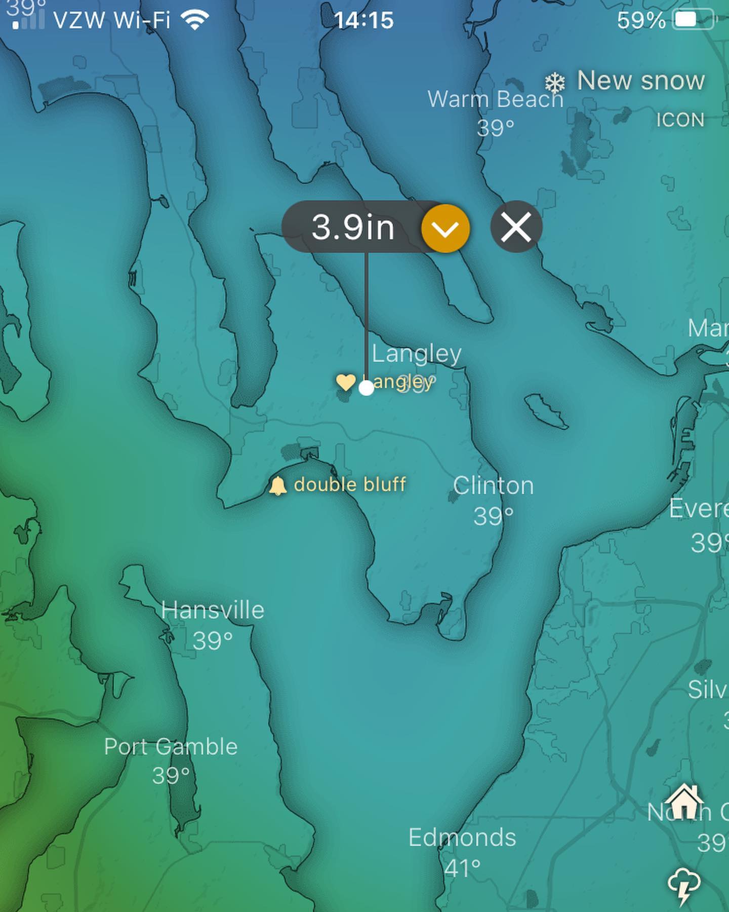
What everyone wants to know: will it snow? That’s what I’ll be watching here the next few model runs, just know that the potential is going to be there and things are going to get weird. It doesn’t take a massive system to drop snow here when it’s extremely cold at 10,000 feet.

Tbh we may see news headlines from this event, and ngl, as hype and fun as weather is, this may create some extreme and dangerous situations for some areas of the PNW - particularly east of the cascades.

More details coming this weekend — break out the gloves! ❄️ 🥶 and stay tuned! I’ll update as I see more.

Hope everyone had / is having a restful and warm thanksgiving holiday 🙏

Rain inbound tomorrow (Tuesday), nothing to write home in terms of precip amounts, but a welcome pattern change from the dry inversion layer with questionable AQI (for me at least).

Rain inbound tomorrow (Tuesday), nothing to write home in terms of precip amounts, but a welcome pattern change from the dry inversion layer with questionable AQI (for me at least).

Expecting a bit of wind — maybe gusting to 40 at times, not extreme but could be a bit blustery.

Long range models not agreeing on the next system which is pegged for later in the weekend. Will update on that tmrw!

#packajacket #whidbeywx #warain #wax

Saturday AM update: extended / long range models are not agreeing with my previous assessment and waffling all over the place.

Saturday AM update: extended / long range models are not agreeing with my previous assessment and waffling all over the place.

Saturday AM update: extended / long range models are not agreeing with my previous assessment and waffling all over the place. Doesn’t look like the storm door opens Sunday / Monday, maybe a wick of precip for Tuesday. Models are struggling but hopefully will start lining up later tonight for a more accurate forecast. Until then: cold and dry.

Also the people have spoken and I’m taking some time to create a more structured cadence of posts and a few other surprises.

Goal today for me is to find some sun!

More soon! Have a rad weekend.

looking like this run of record-breaking high pressure is ending late Sunday night/Monday morning.

looking like this run of record-breaking high pressure is ending late Sunday night/Monday morning. Never in history have we ever seen a ridge of high pressure so large dominating the PNW this late in the year. It didn’t really register on anyone’s news feed because the effect of this pressure isn’t “extreme” per se, but it’s certainly not normal. Luckily weather lovers can again rejoice that the storm door is opening back up for us. As always I’m watching for the more extreme wind gradients, so stay tuned for an update on the next round of storms. Looks like (3) separate systems coming at us for a busy week.

Let me know how you like my posts, would you prefer a daily south whidbey weather update?

Find yourself a nice long beach walk in the sun before the weekend is done 😎the dry spell days are numbered here.

#southwhidbey #whidbeyWx #southwhidbeywx #wawx #whidbeyisland