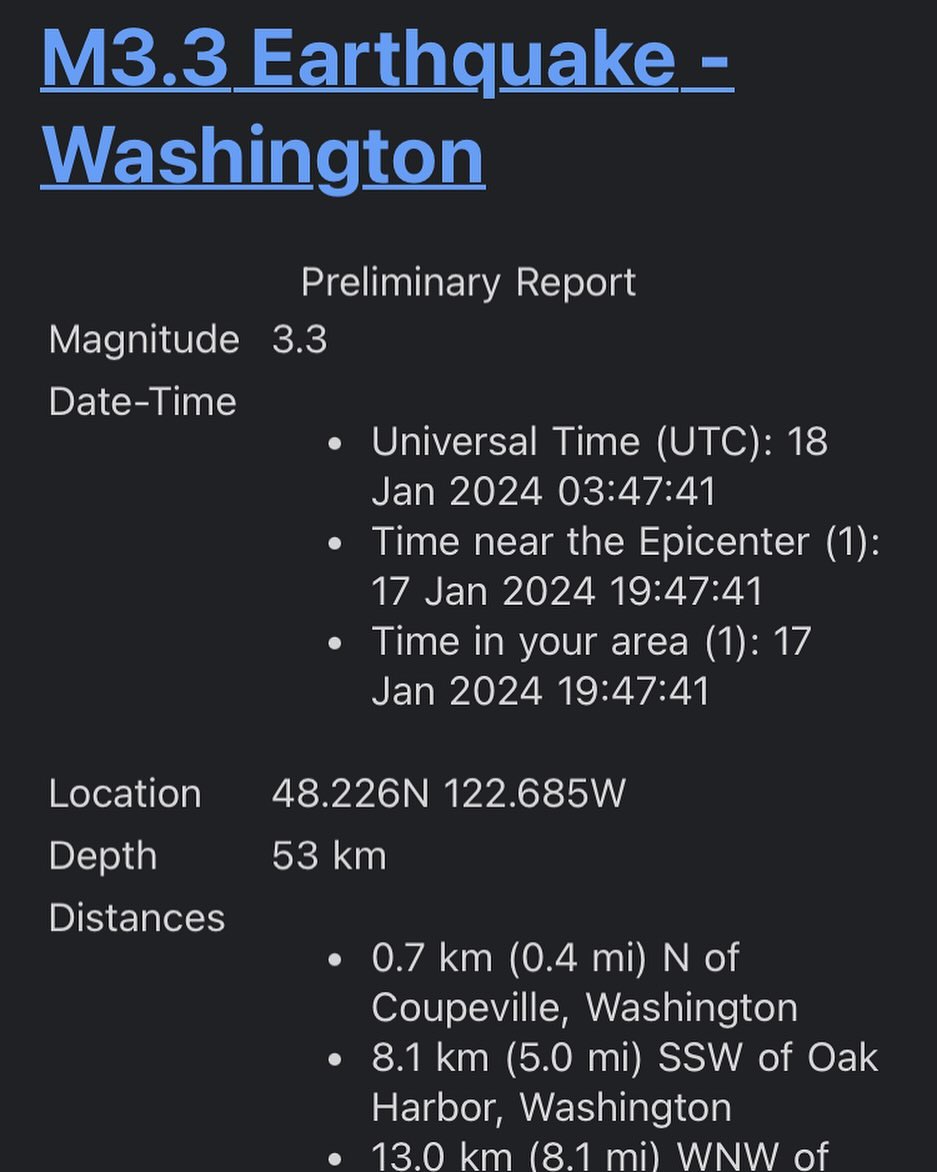
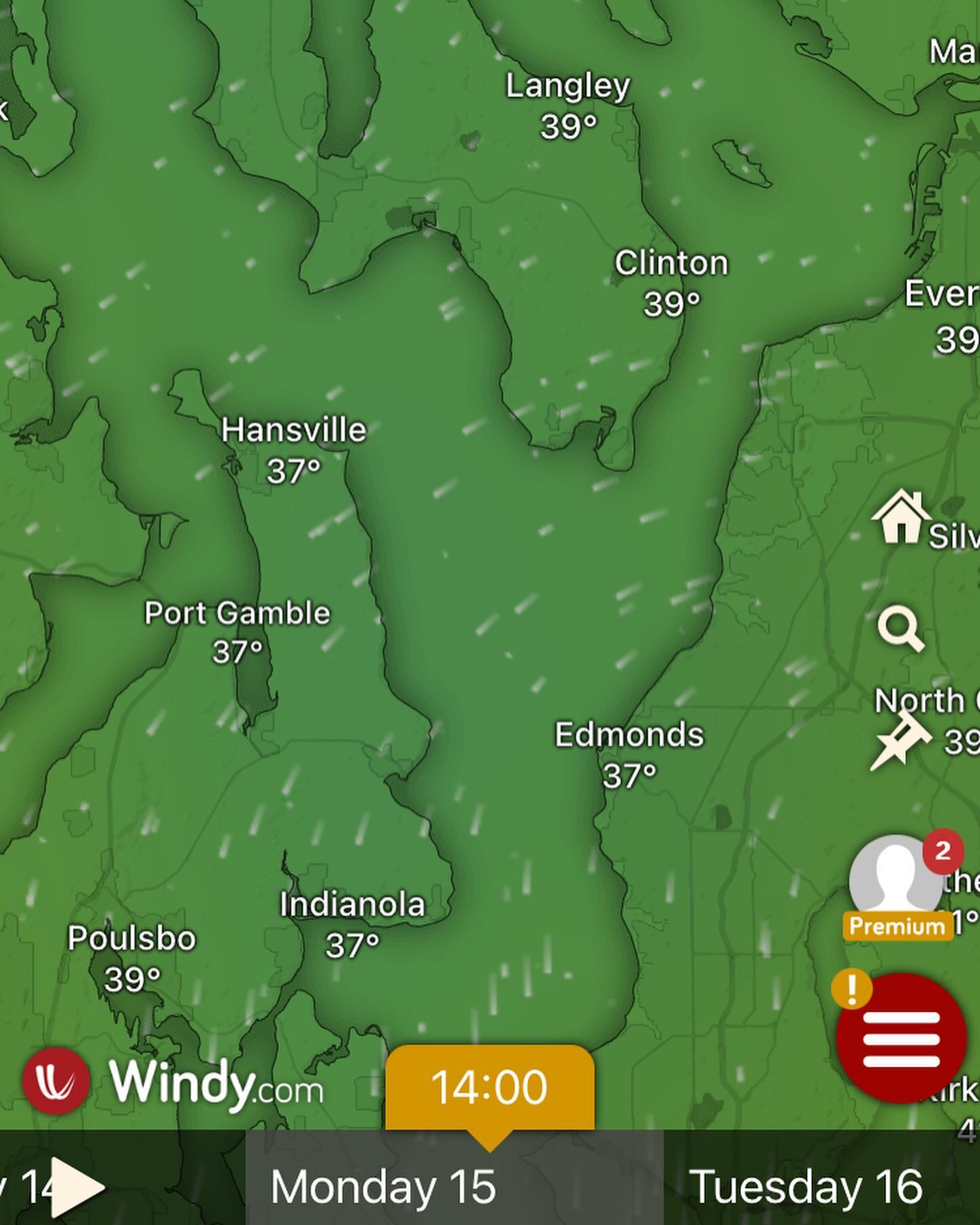
Waiting on tonight’s model runs to finish, but the 12Z is painting a windy scenario for us Monday around midnight into Tuesday, followed by a powerful west surge (down the strait of Juan de Fuca) on Tuesday afternoon.
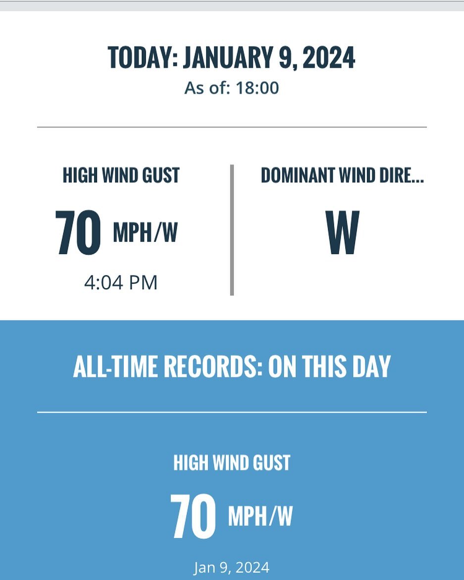
60MPH+ gusts to impact Coupeville north on that west wind event, and while we may be spared damaging winds on the south end, this is an unpredictable event for the island and our electricity runs across deception pass bridge and south to us. Don’t be surprised if we lose power Monday or (more likely) Tuesday at a seemingly calm time. I also wouldn’t be surprised to see a “sneaker” wind storm on Tuesday. (EURO saying gusts to 20Mph for us on Tuesday)
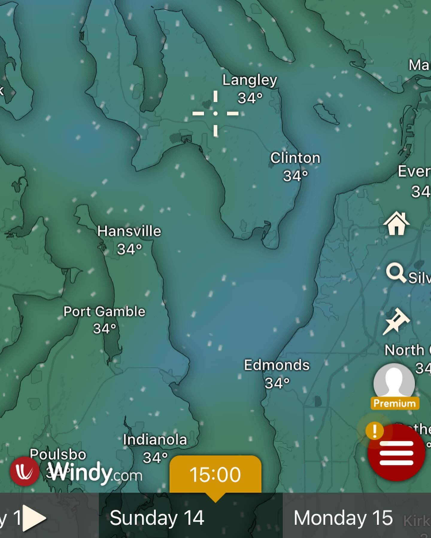
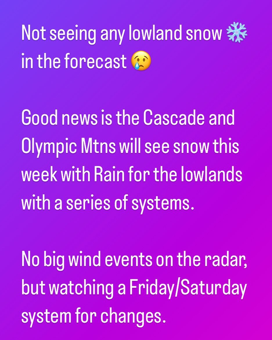
Previously mentioned snow event looking likely after the Monday / Tuesday situation. We will look for that later in the week.
Fill up those tanks, dust off the old generator and pack a snack, things about to get real around here.
#wawx
This is a late breaking storm, and these events can often be under estimated by the models. Looks to enter into bombogenesis before making landfall on Vancouver Island, BC.
More to come…