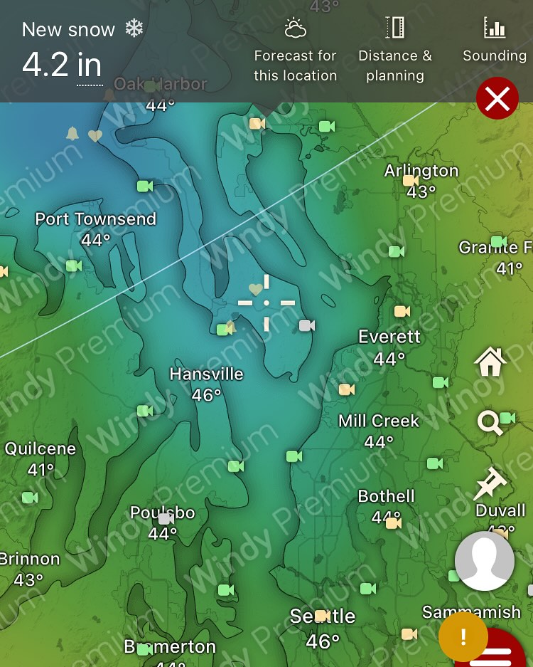
Eastern WA only -- this is not a Whidbey-specific fire danger.
I’m seeing some concerning wind and RH levels this afternoon through tonight — East of the cascades.
If you’re traveling near or in the eastern part of the state, be prepared for blowing dust and fire danger. If you have interests in the region give your people a heads up.
From now until October I’ll be mainly focused on fire weather, as this is the main weather event that can impact our area.
I’ll always give a heads up for any conditions on the island that may present a wildfire danger to us, but will also be reporting broader regional impacts, since drifting smoke can impact us from the broader PNW, Canada, and northern CA areas given certain wind patterns.
This is my main focus during the dry season.
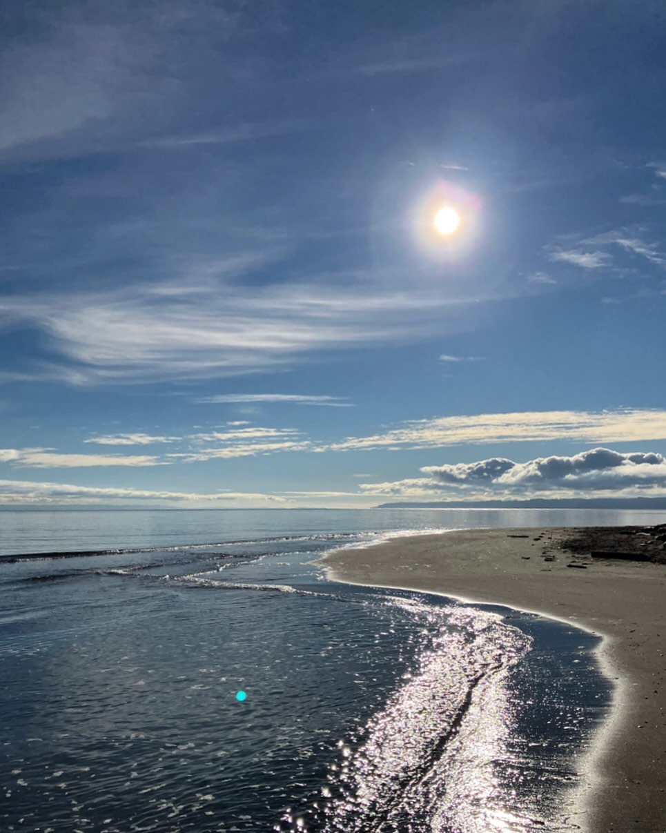
Locally, enjoy the brief respite from the high temps today (Monday) as we return to higher temps and calm winds until the weekend. It’s going to be very hot this week with the strait giving some westerly relief at various points. Red flag dangers seem to be increasing for the cascades midweek, while remaining normal / low for the island itself.
Needs to be watched and reassessed mid-week.