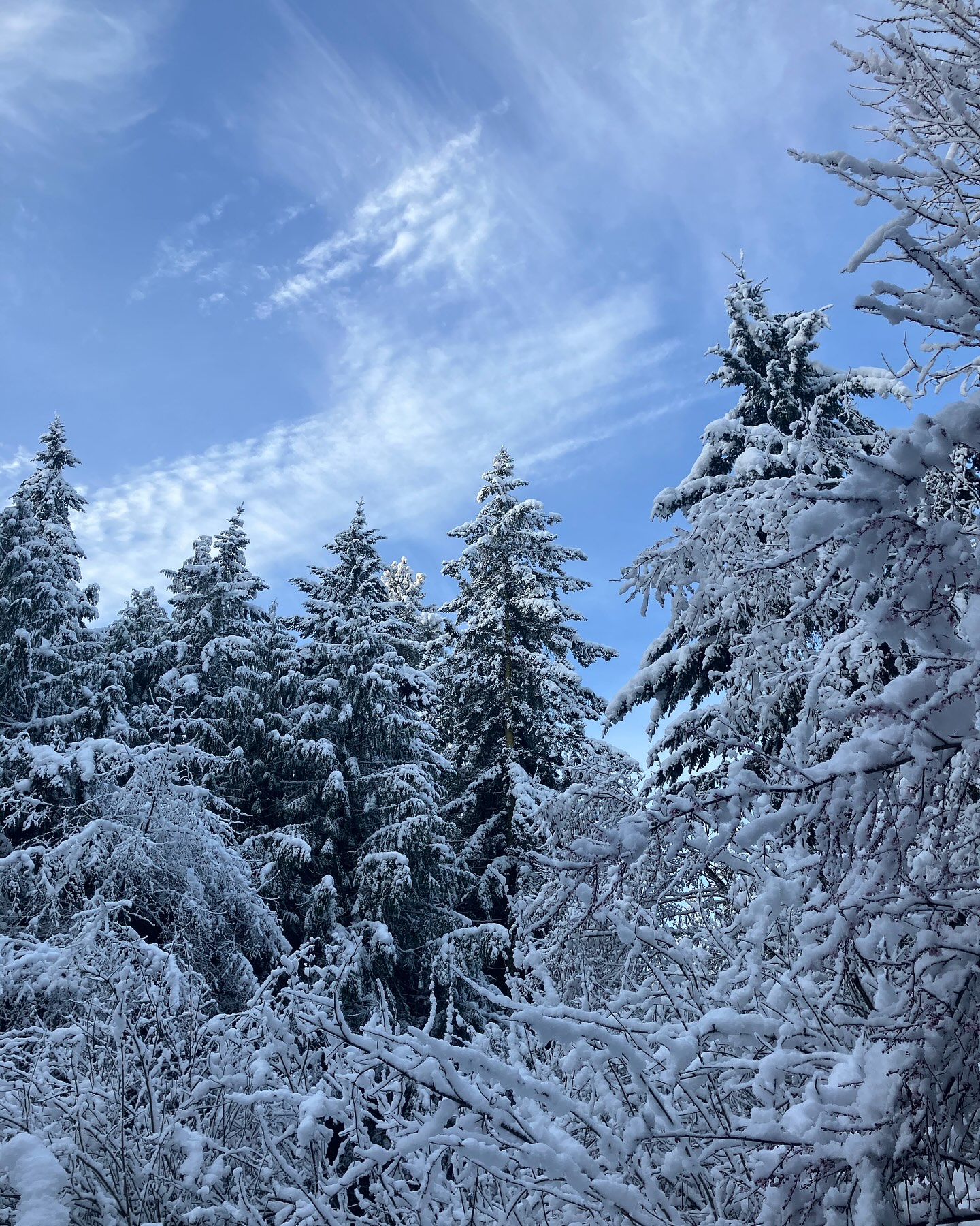
Probability of activating the island snow globe is increasingly likely!

Did you notice a change in the weather today?
A frontal system will bring lowland rain and heavier mountain snow tonight through Friday night.
Snow levels just below the passes on this one. Meaning if you’re touring into or over the mountains be sure to check with wsdot!
An upper low sliding southwards across British Columbia will usher in a colder pattern along with the potential for lowland snow Saturday into early next week.
Predicting pnw is really tricky. But we are looking increasingly likely to have some classic conditions to get at least a couple inches on the south end and possibly more going into the workweek.

PSCZ is going to be in charge of this at least during the weekend. Need to check on Frasier River outflow winds.. might be a snow loading event over on the PT - PA side of the strait with the outflow winds.
Will be a series of updates on this as we get into the weekend! ❄️
Are we skiing castle park in 2025 remains TBD… 😆