Wow that was a wet Thursday!
Wow that was a wet Thursday! We smashed the record for rainfall yesterday at SeaTac from 0.72 to 1.16in.
What’s next? We should see a second surge of rain mainly for Seattle south with a bullseye on Oregon this afternoon, expect some showers here and there, but we should have a bit more rain shadowing here on the south end as the AR hose reverses back north.
Sunday morning we have a classic convergence zone signature showing on the models with breezy west wind coming down the strait and converging with air streaming around the Olympics and up puget sound. These air masses meet and create steady, drenching rain. And occasionally lightning (probably not likely Sunday)
Might take another look at the #pscz models tomorrow, checking the NAM 3km and HRRR to get a better idea of the pscz activity and where it will set up.
Convergence zone days offer an opportunity to head up to #coupeville north for a sunny, breezy hike to escape the rain 😉
Extended 10 day temps look below average but when that sun comes out it really does warm us up.
Hot gurl summer is still delayed in the extended with troughing lingering into the long term. Expect some nice days midweek next week but we’ll revisit that towards the end of the weekend.
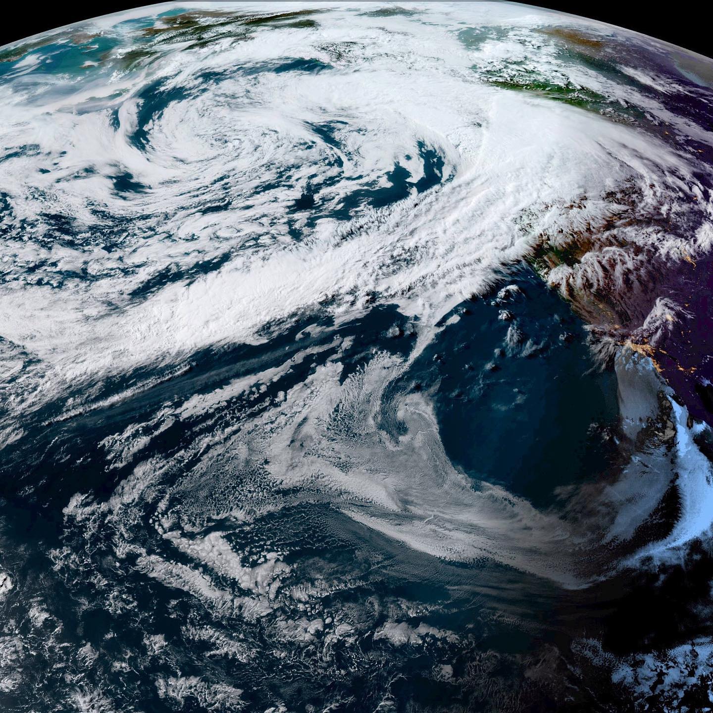
Image: sunset last night from GOES West satellite
#wawx #whidbeywx #southwhidbeyweather #clintonwashington #langleywashington #freelandwashington #greenbankwashington #southwhidbey #whidbeyisland #warain