A high pressure ridge has dominated the weather pattern for the last week, and the pattern looks to continue through most of the current week.
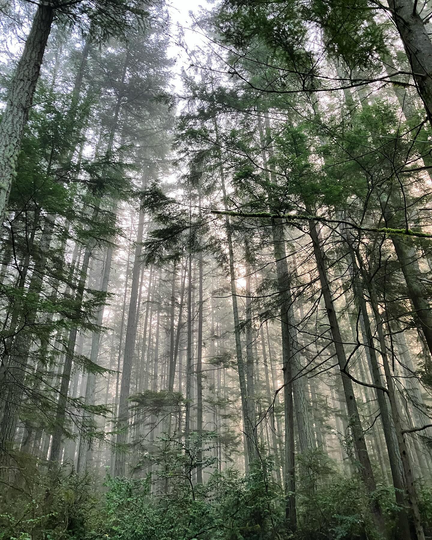
A high pressure ridge has dominated the weather pattern for the last week, and the pattern looks to continue through most of the current week. High pressure is synonomis with sunny, hot weather in the summers. But during the winters, high pressure, at least around puget sound, is actually associated with fog, chilly temps, and an inversion layer.
All evident this morning with fog creeping into our mornings. What’s next? Thursday / Friday - we’re looking at finally breaking out of the persisent high pressure ridge that’s been dominating our weather. The pattern change is looking wet, with the possibility of some blustery winds.
Possibly an atmospheric river for the weekend? An active weather pattern beyond in the extended. Need to dial it in over the week, but expect changes toward the end of the workweek! #whidbeyisland #southwhidbey #wawx