Let’s talk about freezing rain.
Let’s talk about freezing rain. Friday AM is not looking great for us. I want too dig into it a bit…
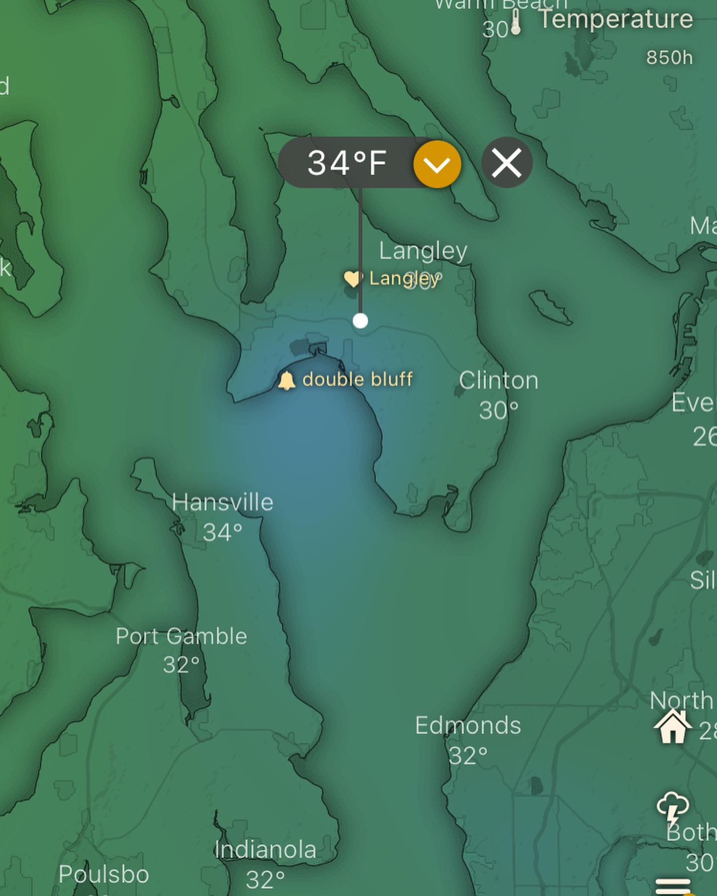
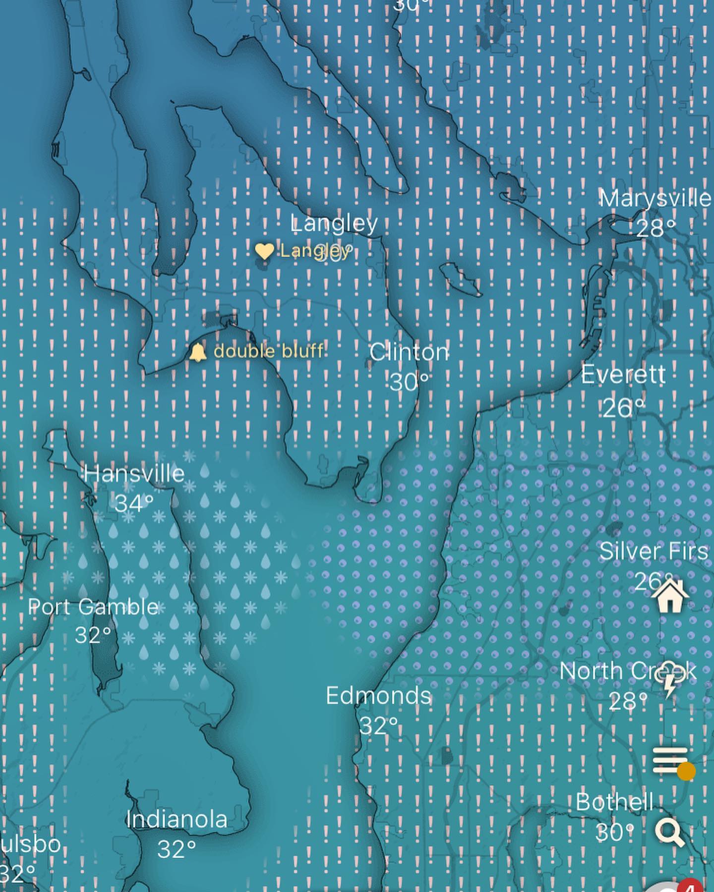
Image 1: freezing rain depicted Friday AM
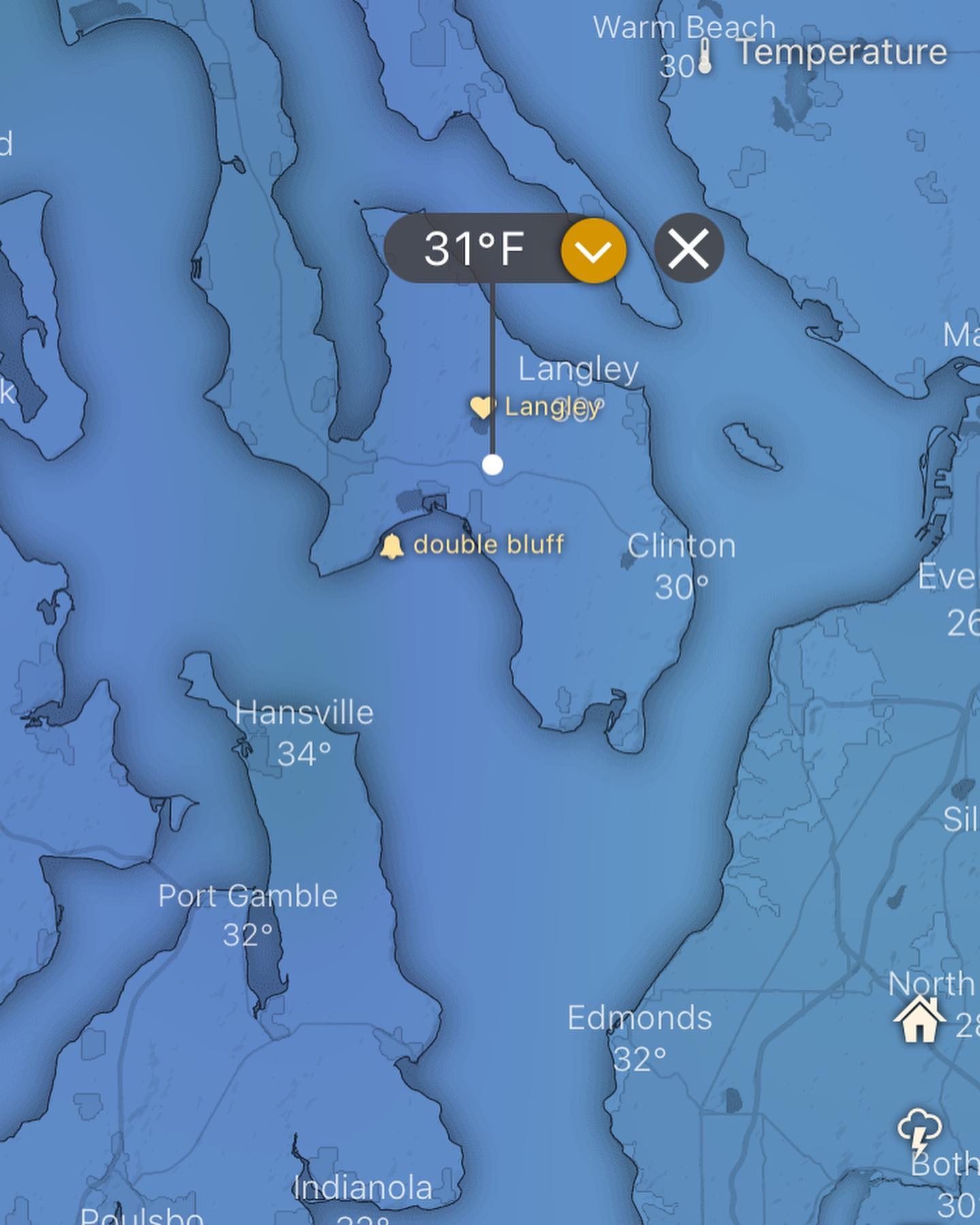
Image 2: temperature Friday AM at sea level
Image 3: temperature Friday AM at 5000ft
Freezing rain is one of the more dangerous weather phenomenon. It happens with an “upside down” temperature column. When you think of mountains, it conjures ideas of colder temps at higher elevations. Same with, say, aircraft, as the temperatures at 30,000ft are typically very cold compared to sea level.
Freezing rain is rare, because it happens when the temps aloft are above freezing and the temps at the surface are below.
So in this situation, the precipitation falls as rain, but as it gets near the surface, it freezes, or is close to freezing, and then lands on roads and trees as either ice or slush, and then quickly freezes on whatever it lands on.
It really only takes 0.1 inch of freezing rain to cause problems. Power outages are common. Covered hoop houses can collapse. Accidents on the road from black ice.
The Friday system has all the components of a freezing rain event — and we might get lucky by avoiding it, but it’s something to be aware of moving into Friday.
It looks like we will be transitioning to rain after the freezing rain which is a good omen in this case.
We may be seeing news headlines from Portland (mentioned in previous post) and other areas this Friday with this event.
We start with snow late Thursday and transition to freezing rain (hopefully not for long) and then rain into Friday.
Temps on the weekend almost touching 50F with chances of an atmospheric river being higher every model run.
Stay tuned!
#wawx #freezingrain #whidbeywx #whidbeyisland #southwhidbey #southwhidbeyweather #southwhidbeywx