The next few days we remain beneath the blanket of fog down here near the Salish.
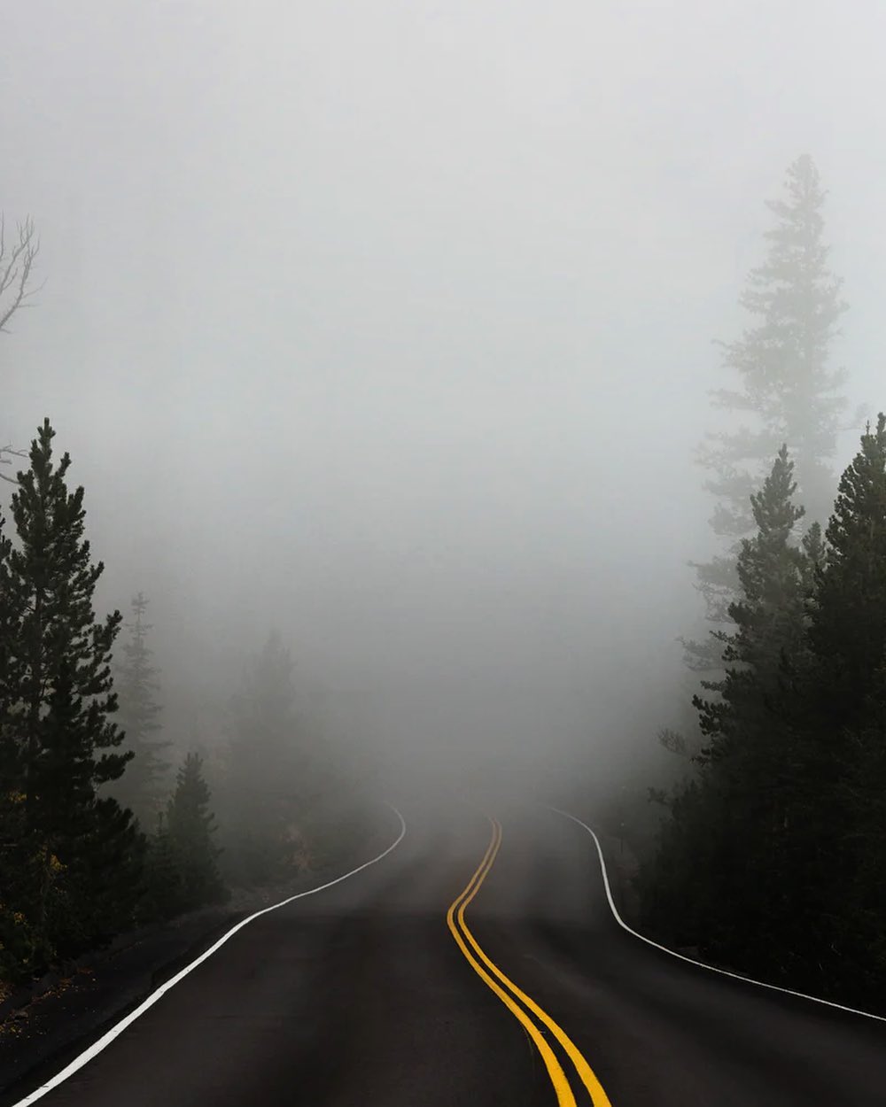
The next few days we remain beneath the blanket of fog down here near the Salish. If you’re looking for exciting weather, mentally prepare yourself for absolute pandemonium on the East Coast. I can’t stop looking at the bomb cyclone about to besiege the entire eastern seaboard. Expect to read headlines with millions being shutdown from work and school, particularly NYC and Boston.
Back home, if you have the time and leisure to get yourself out of the boring and increasingly stale puget sound inversion fog, you’ll score summer temps on the southern Oregon coast with some seaside towns tapping mid-70s with light winds and solid swell 🏄🏽 at the beaches.
Stuck here? Me too…
Another option is getting yourself into the cascades where the temps are HIGHER than puget sound and the sun is out with clear skies above the inversion. The night sky is also impeccably clear up there making star gazing excellent now.
The long term models are beginning to show signs of a change in the doom and gloom, but the system incoming isn’t looking impressive, but the change will be welcome as this stagnant air is basically only going to accumulate more smoke, smog, and anything else we collectively fart/burp into the air. Returning to a zonal flow in a few days will likely be a welcome shift.