I’m seeing an interesting pattern change in the extended models that I wanted to share today.
I’m seeing an interesting pattern change in the extended models that I wanted to share today.
If you remember an earlier post I noted a shift in a teleconnection called the PNA. That was way back in October when we were experiencing an abnormally dry and warm fall.
One of the things driving that dry fall was the negative phase of the PNA.
We’re heading back into that. Does this mean hot and dry? No! Not really… and that’s because it’s winter. Our days are too short and the sun is too low.
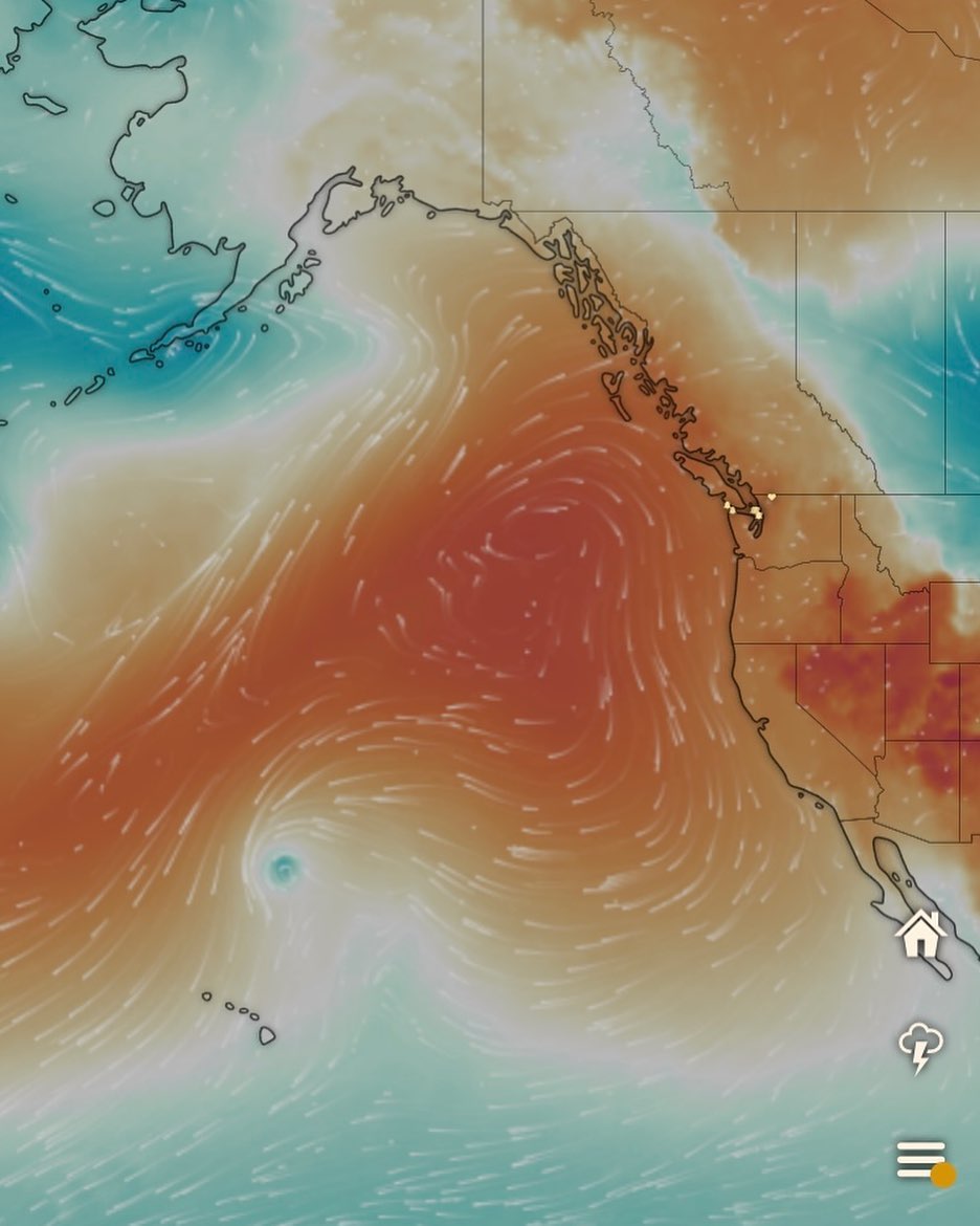
The most promiment feature of a postive phase of the PNA is a persisent high pressure ridge over the Gulf of Alaska.
In the summer and fall, this will give us heat waves. The “heat dome” was a memorable example of that.
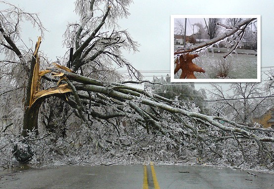
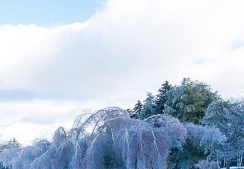
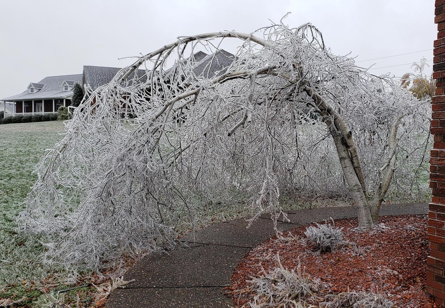
However, in winter, it will make for cold and yes — that’s right — chances for SNOW!! ❄️
Now before you go spreading rumors all around the Goose and Payless that a snowstorm is coming — just know that it’s not. Not yet 😆
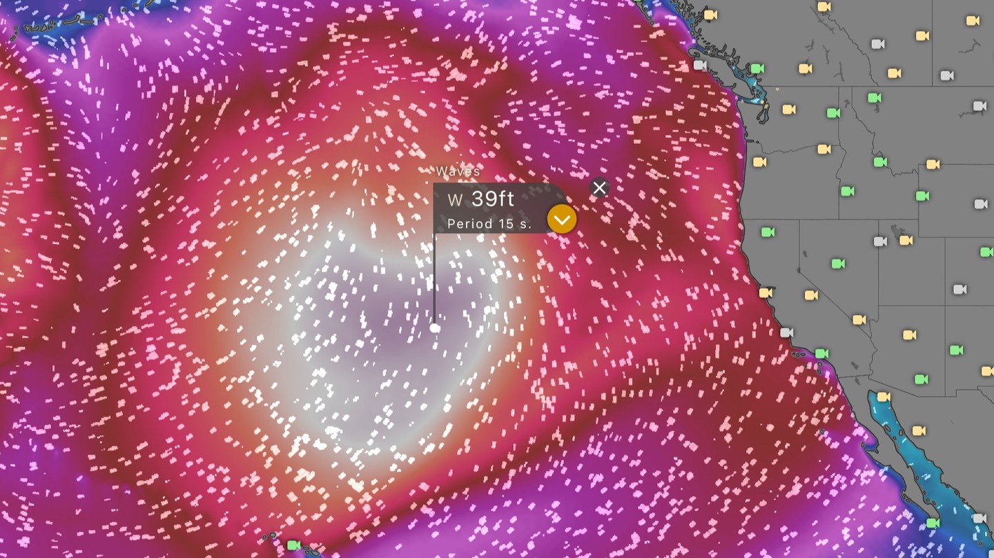
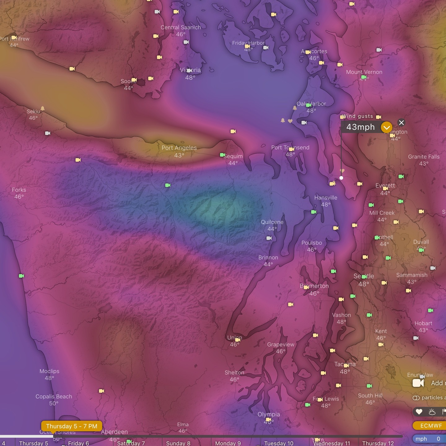
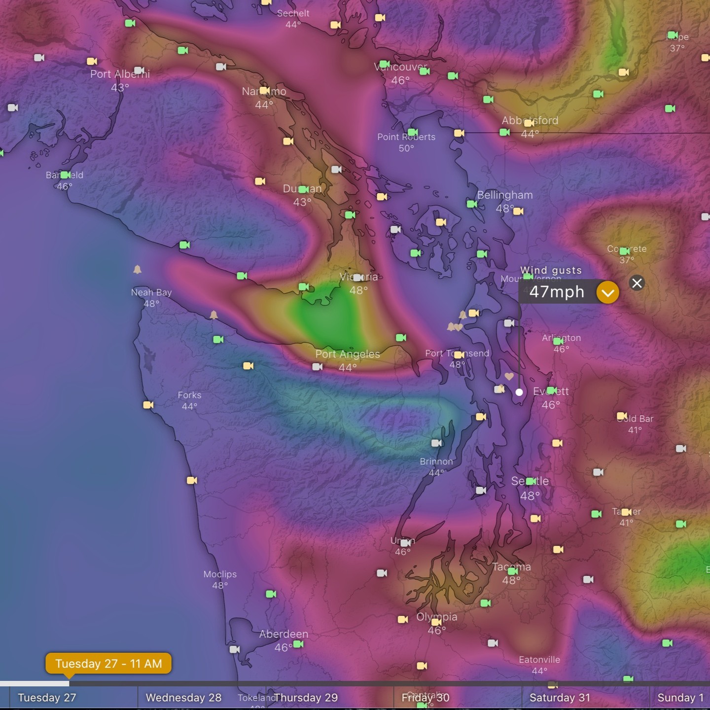
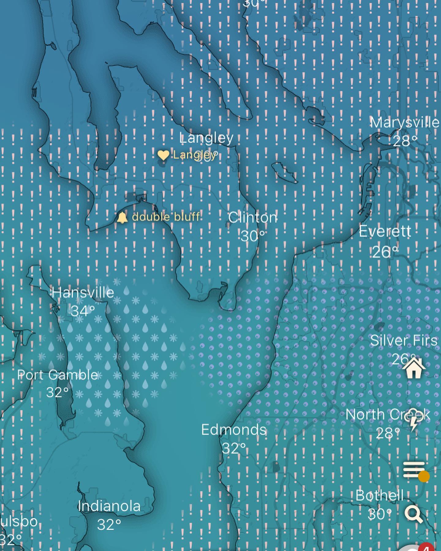
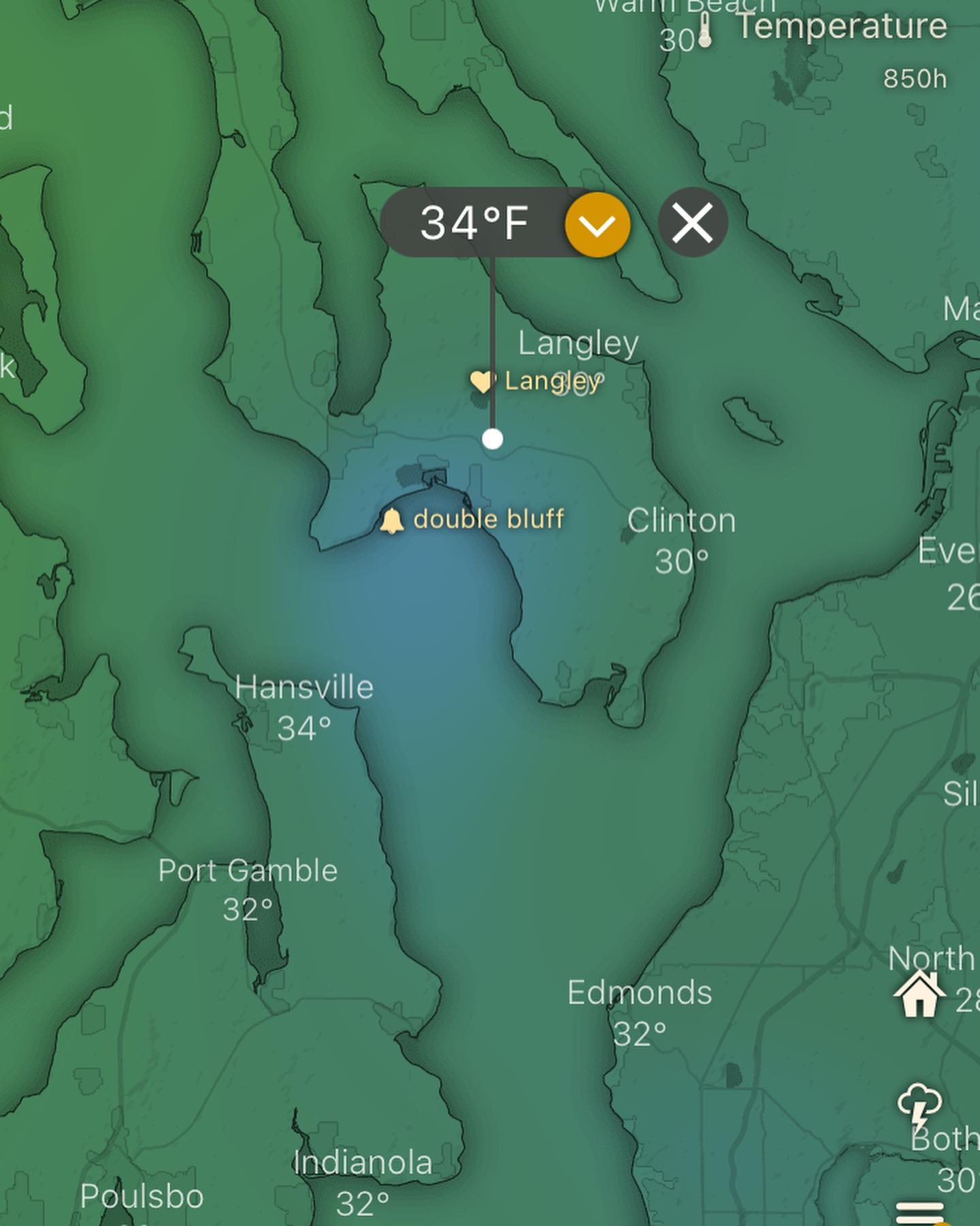
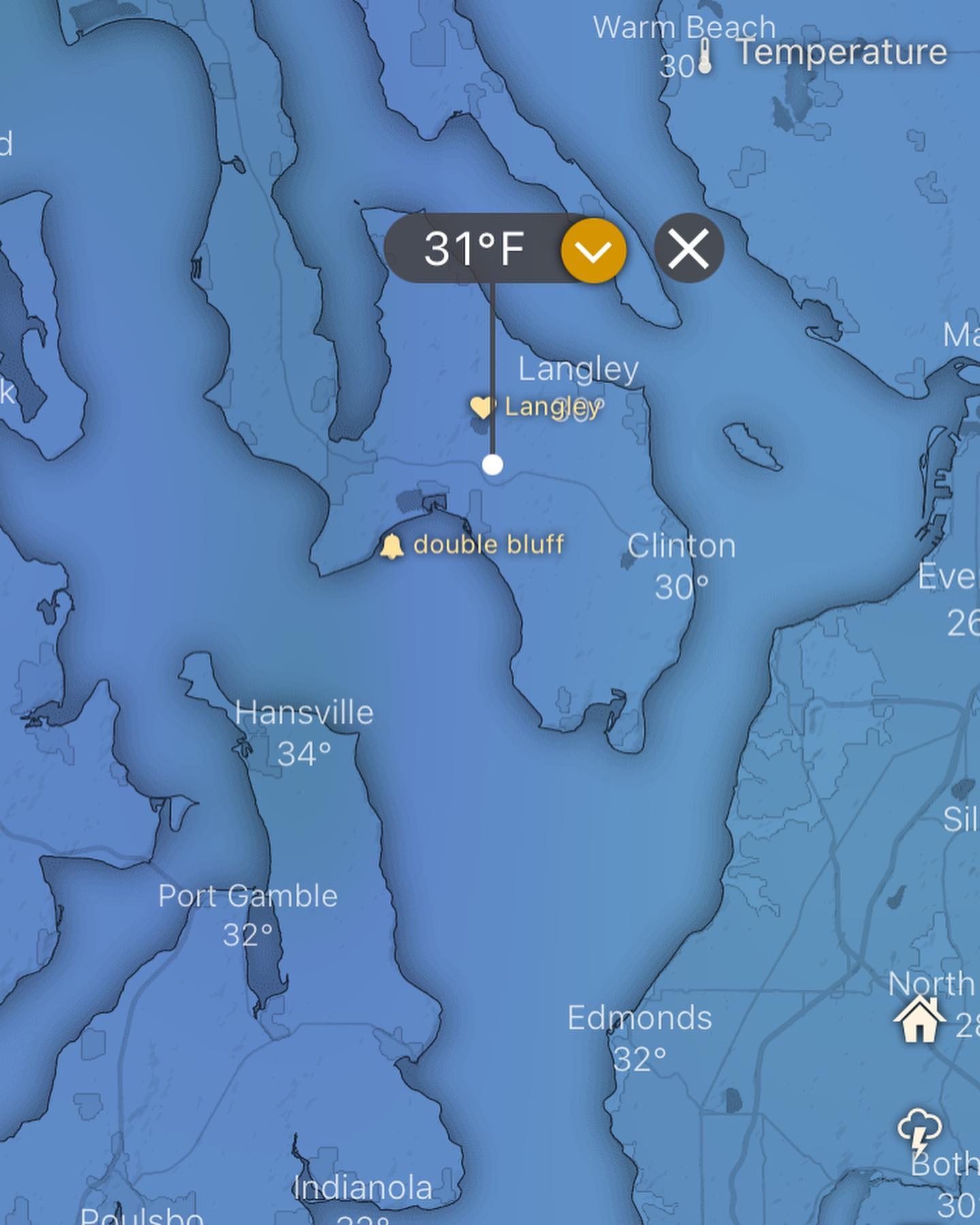
Our typical winter storms aren’t snow makers, they’re subtropical, often tapping moisture from the tropics. You’ve heard the “pinapple express” and “atmospheric river” terms, that’s our typical storm system here. And they usually come in around 45-55F.
This upcoming phase of the PNA *might* allow a snowstorm. I say that because our snow events usually happen when there’s high pressure in the gulf, and a polar lobe swings across BC and makes it out over the pacific just enough to spin up a decent storm.
That’s how we typically get snow here at sea level. And to make that happen, we need high pressure over the gulf! And we get high pressure over the gulf during a negative phase of the PNA with short days 😉 and that’s what we’re going into.
Tl;dr - it’s going to dry out. It might snow in the next few weeks.
#wawx #southwhidbey #southwhidbeyweather #whidbeyislandwa #southwhidbeywx #pnw #teleconnections #weather #meterology